Sep 1, 2013
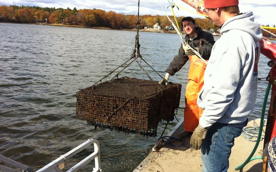
THE LATEST HAPPENINGS This project helps to build a spatial planning framework for the Great Bay estuary, with an emphasis on utilizing ecosystem services modeling to better integrate and scale-up ongoing estuarine habitat restoration work while minimizing conflicts...
Jul 1, 2013
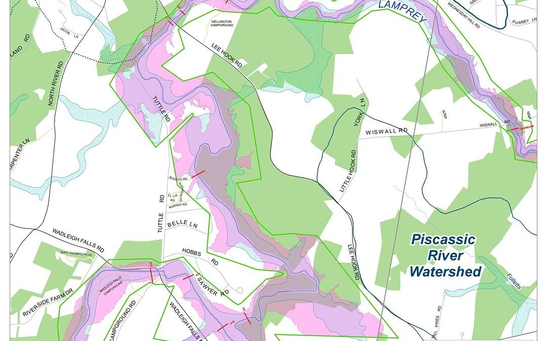
PROJECT PORTAL SRPC will work with the Lee Conservation Commission, Emergency Management Director, and the Planning and Zoning Department to produce a series of maps with the new floodplain data produced for the Lamprey River Watershed. The maps will be used for land...
Nov 1, 2012
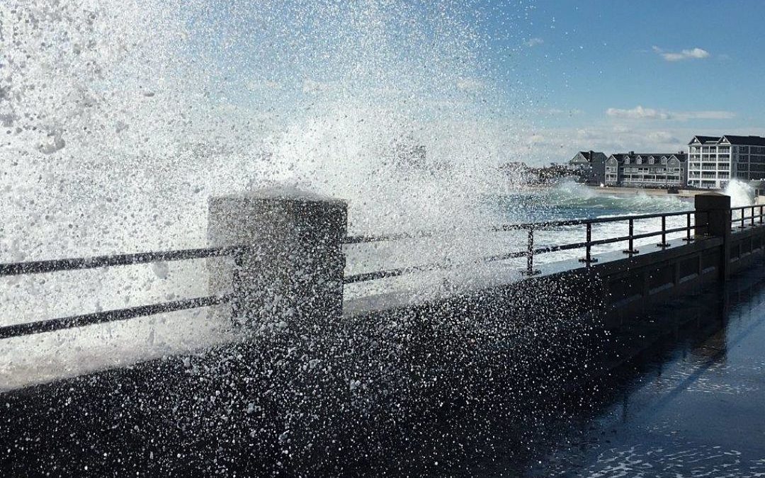
PROJECT PORTAL This project includes 1) Production of a regional vulnerability assessment report and map set for NH coastal communities, utilizing the best available information to assess the impacts of climate change on land, natural resources and infrastructure, and...
Jul 1, 2012
Project Portal This project utilized consulting services to supplement City staff hours to provide an inventory, analysis and recommendations that were easily integrated into the Master Plan update process (scheduled to start in July 2012), the building code, and the...
Sep 13, 2011
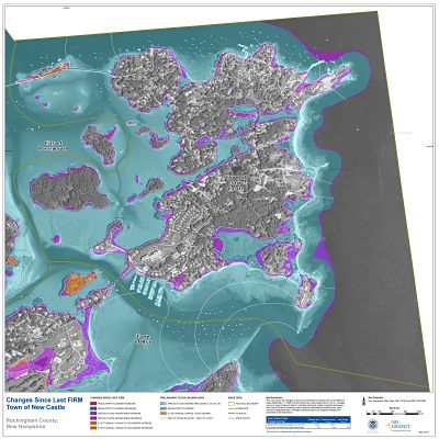
Project Portal The objective of this project is to produce a suite of non-regulatory, Risk MAP products to accompany the updated floodplain maps for the NH Coastal Mapping project. Collectively, they extend the utility of the maps and reports, encourage community...